Save
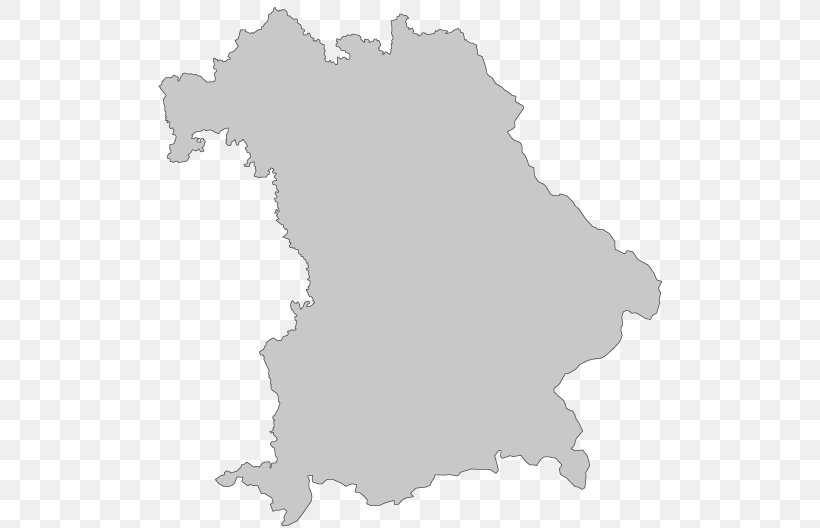
User kyle_conrad uploaded this Map - Bavaria Map Cartography Regierungsbezirk PNG PNG image on November 4, 2018, 10:11 am. The resolution of this file is 528x528px and its file size is: 27.64 KB. This PNG image is filed under the tags:
Map - Bavaria Map Cartography Regierungsbezirk PNG
Below are more related PNG images...