Save
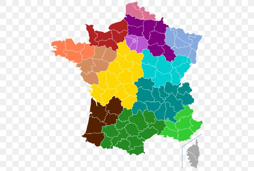
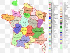
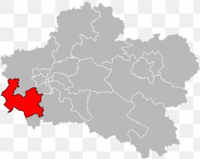
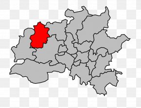
User kevin76 uploaded this Map - Auvergne Normandy ISO 3166-2:FR Regions Of France Map PNG PNG image on January 3, 2019, 12:43 am. The resolution of this file is 507x553px and its file size is: 108.08 KB. This PNG image is filed under the tags:
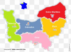
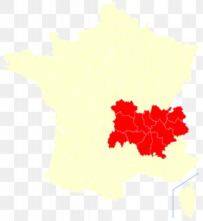
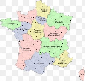
Map - Auvergne Normandy ISO 3166-2:FR Regions Of France Map PNG
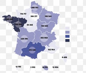
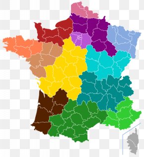
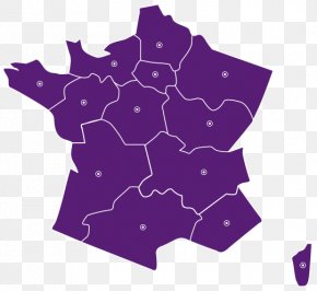
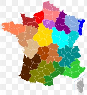
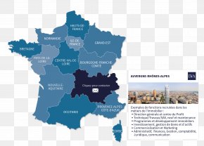
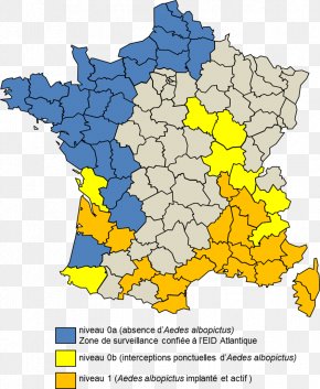
Below are more related PNG images...