Save
User pleasedontqq uploaded this Map - Agadez Aïr Mountains Zinder Region Niger River Map PNG PNG image on September 14, 2018, 12:48 pm. The resolution of this file is 800x596px and its file size is: 380.02 KB. This PNG image is filed under the tags:
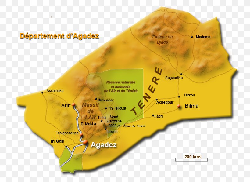
Map - Agadez Aïr Mountains Zinder Region Niger River Map PNG
Below are more related PNG images...