Save
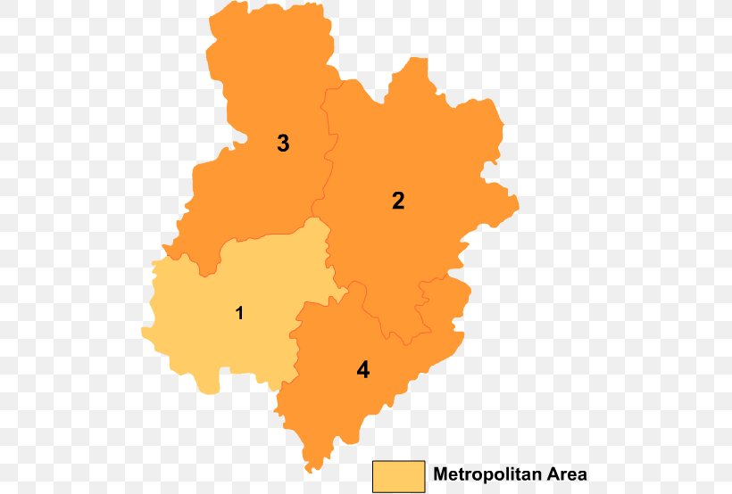
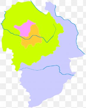
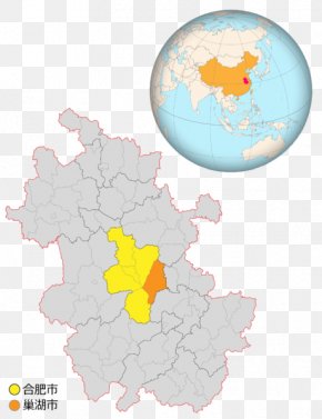
User mbowen uploaded this Map - 1976 Tangshan Earthquake Prefecture-level City Map Tangshanzhen PNG PNG image on August 19, 2018, 2:51 am. The resolution of this file is 504x554px and its file size is: 21.29 KB. This PNG image is filed under the tags:
Map - 1976 Tangshan Earthquake Prefecture-level City Map Tangshanzhen PNG
Below are more related PNG images...