Save
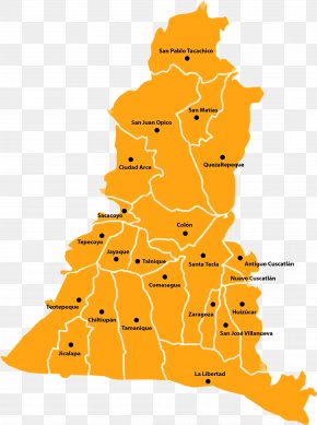
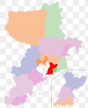
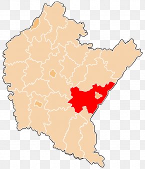
User jarredbcv uploaded this M Postcode Map - Oborniki Murowana Goślina Gmina Map Administrative Division PNG PNG image on January 6, 2019, 6:47 pm. The resolution of this file is 1121x1024px and its file size is: 174.92 KB. This PNG image is filed under the tags:
M Postcode Map - Oborniki Murowana Goślina Gmina Map Administrative Division PNG
Below are more related PNG images...