User raffine uploaded the image
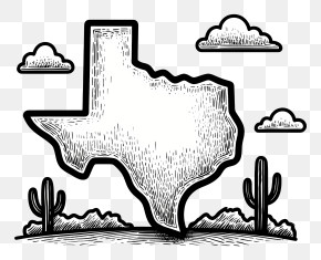
A map of the state of Texas, with the counties outlined in red and blue. The counties are arranged in a grid-like pattern, with each county having a different color - red, blue, and gray. The red counties are on the left side of the map, while the blue counties are in the center. The gray counties are scattered throughout the map. The map is set against a transparent background.
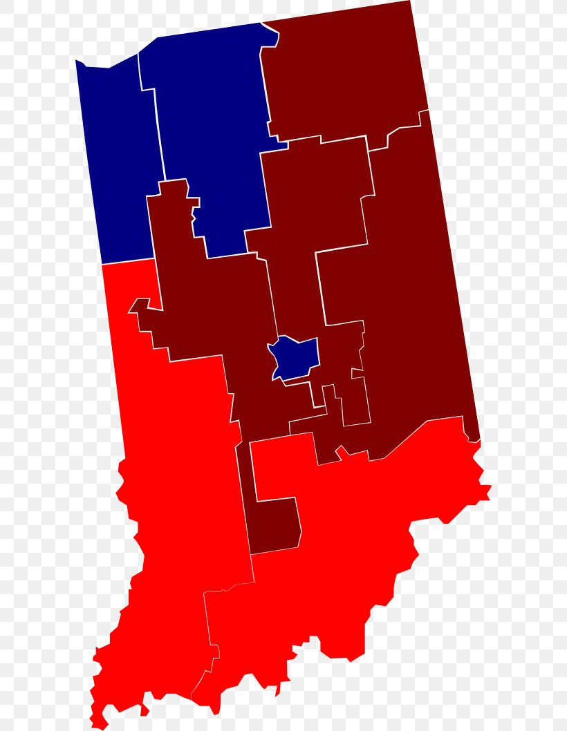
Indianapolis Map U.S. State Printing Image PNG
. The resolution of this PNG file is 602 x 1058 pixels and it has a file size of 48.95 KB.A map of the state of Texas, with the counties outlined in red and blue. The counties are arranged in a grid-like pattern, with each county having a different color - red, blue, and gray. The red counties are on the left side of the map, while the blue counties are in the center. The gray counties are scattered throughout the map. The map is set against a transparent background.
Related PNG Images