Save

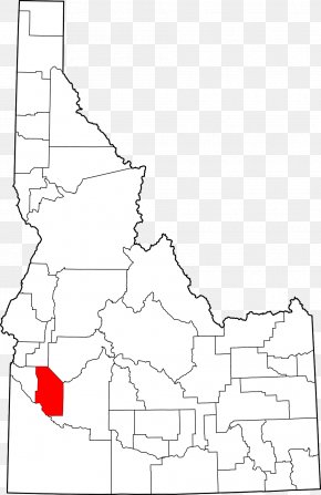
User SrD4rk uploaded this ID - Boundary County, Idaho Mapa Polityczna Physische Karte Vector Map PNG PNG image on August 3, 2017, 10:08 am. The resolution of this file is 2219x3012px and its file size is: 56.35 KB. This PNG image is filed under the tags:
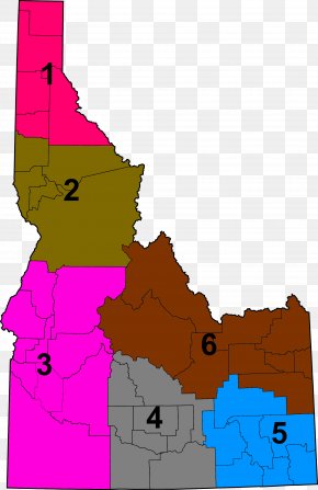
ID - Boundary County, Idaho Mapa Polityczna Physische Karte Vector Map PNG
Below are more related PNG images...