Save
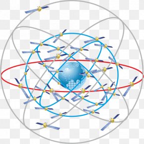
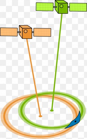
User charlycmx uploaded this GNSS - Quasi-Zenith Satellite System Satellite Navigation Indian Regional Navigation Satellite System 準天頂衛星 PNG PNG image on May 21, 2024, 1:09 am. The resolution of this file is 1348x813px and its file size is: 98.05 KB. This PNG image is filed under the tags:
GNSS - Quasi-Zenith Satellite System Satellite Navigation Indian Regional Navigation Satellite System 準天頂衛星 PNG
Below are more related PNG images...