User MacabreCurve uploaded the image
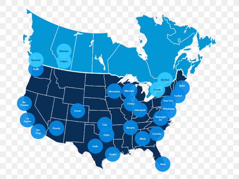
A map of the United States of America, with each state outlined in blue. The map is color-coded, with the majority of the states in blue and the rest of the country in white. The states are labeled with their names, and there are several blue circles scattered throughout the map, indicating the locations of major cities and towns within each state. The blue circles are arranged in a grid-like pattern, with some overlapping each other.
Globe Locator Map Vector Graphics Illustration PNG
. The resolution of this PNG file is 822 x 617 pixels and it has a file size of 91.93 KB.A map of the United States of America, with each state outlined in blue. The map is color-coded, with the majority of the states in blue and the rest of the country in white. The states are labeled with their names, and there are several blue circles scattered throughout the map, indicating the locations of major cities and towns within each state. The blue circles are arranged in a grid-like pattern, with some overlapping each other.
Related PNG Images