Save
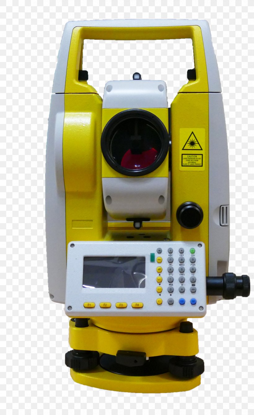
User momiji1135 uploaded this Geodesy Topography Levantamento Topográfico Total Station Surveyor PNG PNG image on October 27, 2024, 8:03 pm. The resolution of this file is 1224x2000px and its file size is: 1.80 MB. This PNG image is filed under the tags:
Geodesy Topography Levantamento Topográfico Total Station Surveyor PNG
Below are more related PNG images...