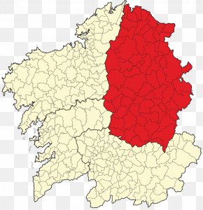
User edmondshtogu uploaded the image
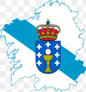
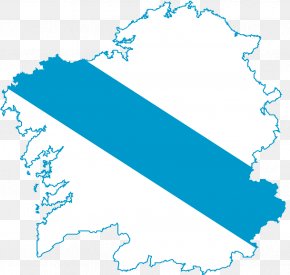
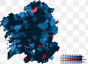
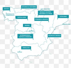
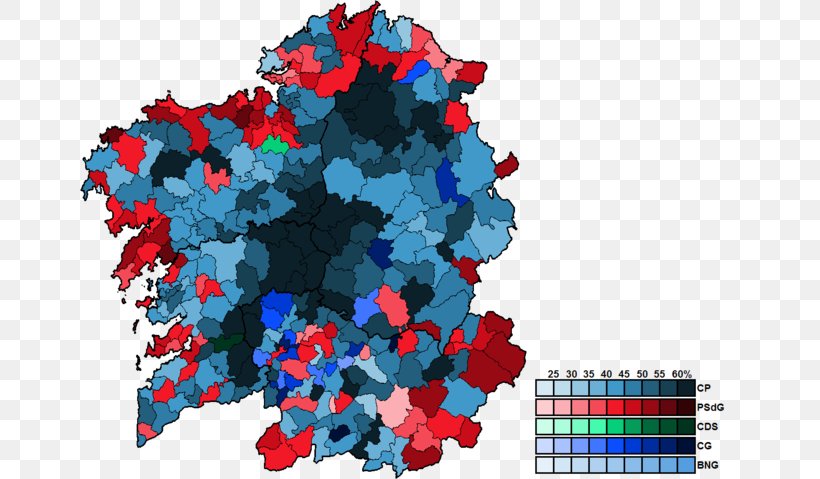
A map of Ireland, showing the percentage of people living in the country. The map is color-coded, with different shades of blue representing different regions. The colors range from light blue to dark blue, with some areas being darker blue and others being lighter blue. The map is overlaid on a transparent background, and there is a bar graph on the right side of the image that shows the number of people who have lived in each region. The bars are arranged in a grid-like pattern, with each bar representing a different color. The data is presented in a table format, with columns for each region and rows for the population density.
Galicia PNG
. The resolution of this PNG file is 660 x 479 pixels and it has a file size of 198.37 KB.A map of Ireland, showing the percentage of people living in the country. The map is color-coded, with different shades of blue representing different regions. The colors range from light blue to dark blue, with some areas being darker blue and others being lighter blue. The map is overlaid on a transparent background, and there is a bar graph on the right side of the image that shows the number of people who have lived in each region. The bars are arranged in a grid-like pattern, with each bar representing a different color. The data is presented in a table format, with columns for each region and rows for the population density.
Related PNG Images