Save

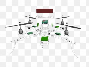
User jumpthegun uploaded this Flight School - Unmanned Aerial Vehicle Aerial Photography Diagram Point Cloud Lidar PNG PNG image on October 3, 2018, 11:30 pm. The resolution of this file is 800x656px and its file size is: 53.60 KB. This PNG image is filed under the tags:
Flight School - Unmanned Aerial Vehicle Aerial Photography Diagram Point Cloud Lidar PNG
Below are more related PNG images...