Save
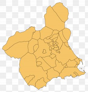
User smashpass uploaded this El Valle San Pedro Map Parish Distrito Sanitario #4 PNG PNG image on June 1, 2019, 3:13 am. The resolution of this file is 1200x850px and its file size is: 107.53 KB. This PNG image is filed under the tags:
El Valle San Pedro Map Parish Distrito Sanitario #4 PNG
Below are more related PNG images...