Save
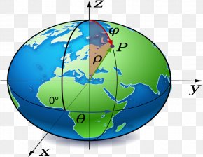
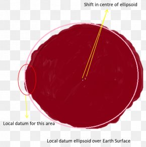
User robusticon391544 uploaded this Earth's Surface - Geodetic Datum Geodesy Geoid Map Projection Earth PNG PNG image on January 16, 2019, 4:47 pm. The resolution of this file is 607x729px and its file size is: 193.88 KB. This PNG image is filed under the tags:
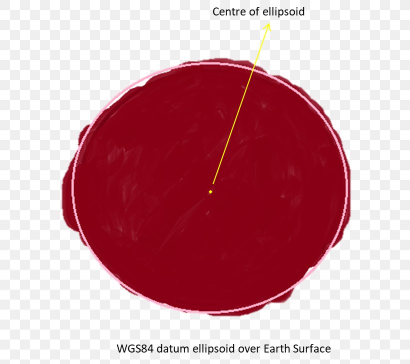
Earth's Surface - Geodetic Datum Geodesy Geoid Map Projection Earth PNG
Below are more related PNG images...