User terquix uploaded the image
A map of a city or town with a red area in the center. The map is white and shows the boundaries of the city and its surrounding area. The red area is located in the middle of the map and is surrounded by a white outline. The city appears to be densely populated with buildings, roads, and other structures.
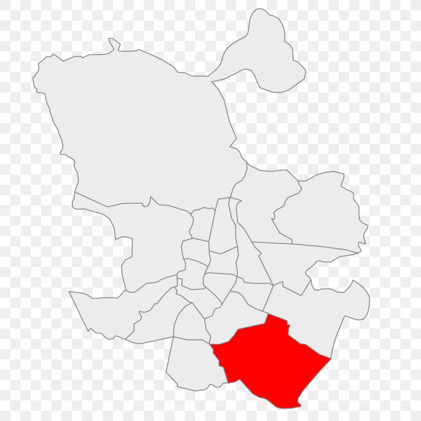
District Of Madrid Villa De Vallecas Wikipedia PNG
. The resolution of this PNG file is 1054 x 1054 pixels and it has a file size of 108.31 KB.A map of a city or town with a red area in the center. The map is white and shows the boundaries of the city and its surrounding area. The red area is located in the middle of the map and is surrounded by a white outline. The city appears to be densely populated with buildings, roads, and other structures.
Related PNG Images