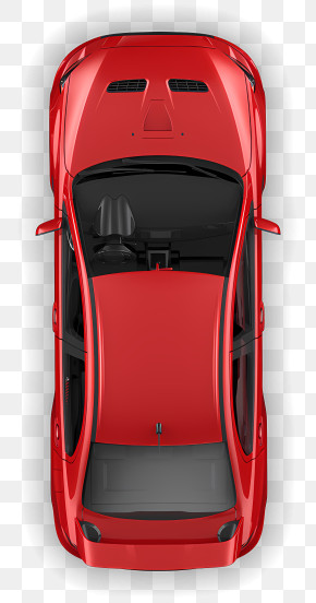
User cykablyat669 uploaded the image
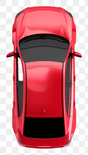
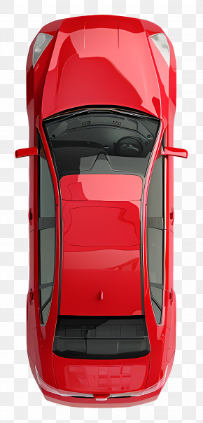
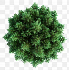
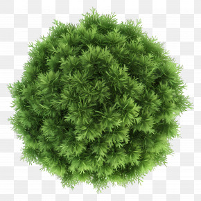
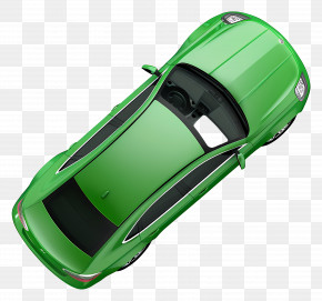
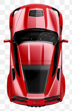
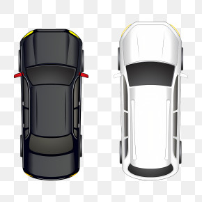
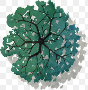
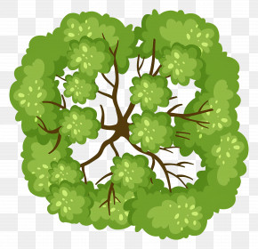
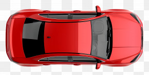
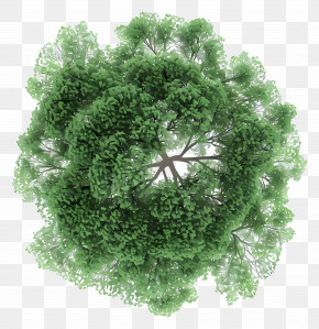
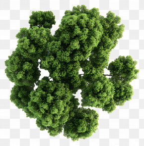
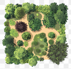
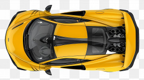
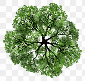
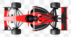
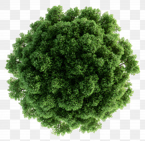
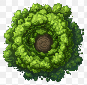
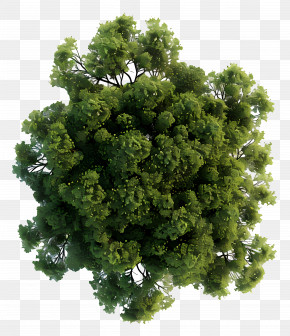
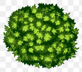
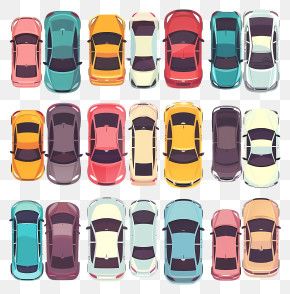
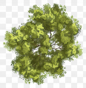
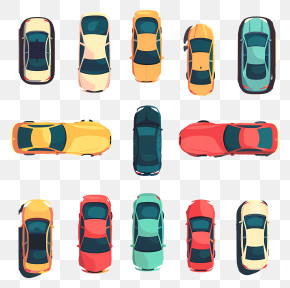
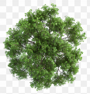
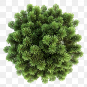
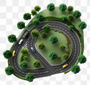
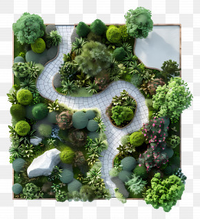
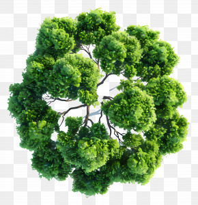
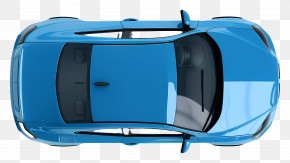
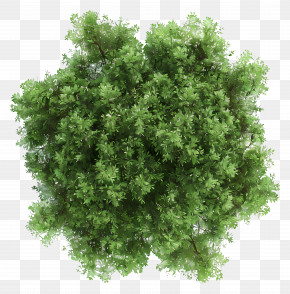
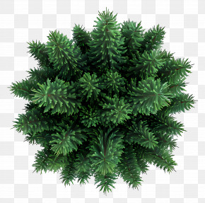
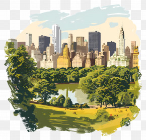
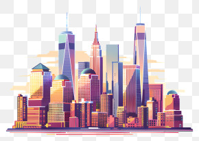
The image shows an aerial view of a city with lots of buildings, trees, roads, vehicles, and a fountain. The buildings are brightly colored and the trees are lush and green. The roads are winding and the fountain is in the center of the city.
City Map Top View - Illustrated City Map PNG
. The resolution of this PNG file is 3848 x 3912 pixels and it has a file size of 10.09 MB.The image shows an aerial view of a city with lots of buildings, trees, roads, vehicles, and a fountain. The buildings are brightly colored and the trees are lush and green. The roads are winding and the fountain is in the center of the city.
Related PNG Images