Save
User anhvuso011 uploaded this Cartoon Map Of Africa - South America Illustrated Maps Cartography PNG PNG image on May 12, 2017, 9:34 am. The resolution of this file is 600x857px and its file size is: 230.68 KB. This PNG image is filed under the tags:
Cartoon Map Of Africa - South America Illustrated Maps Cartography PNG
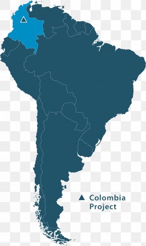
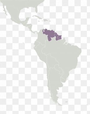
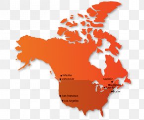
Below are more related PNG images...