User red_ssig uploaded the image
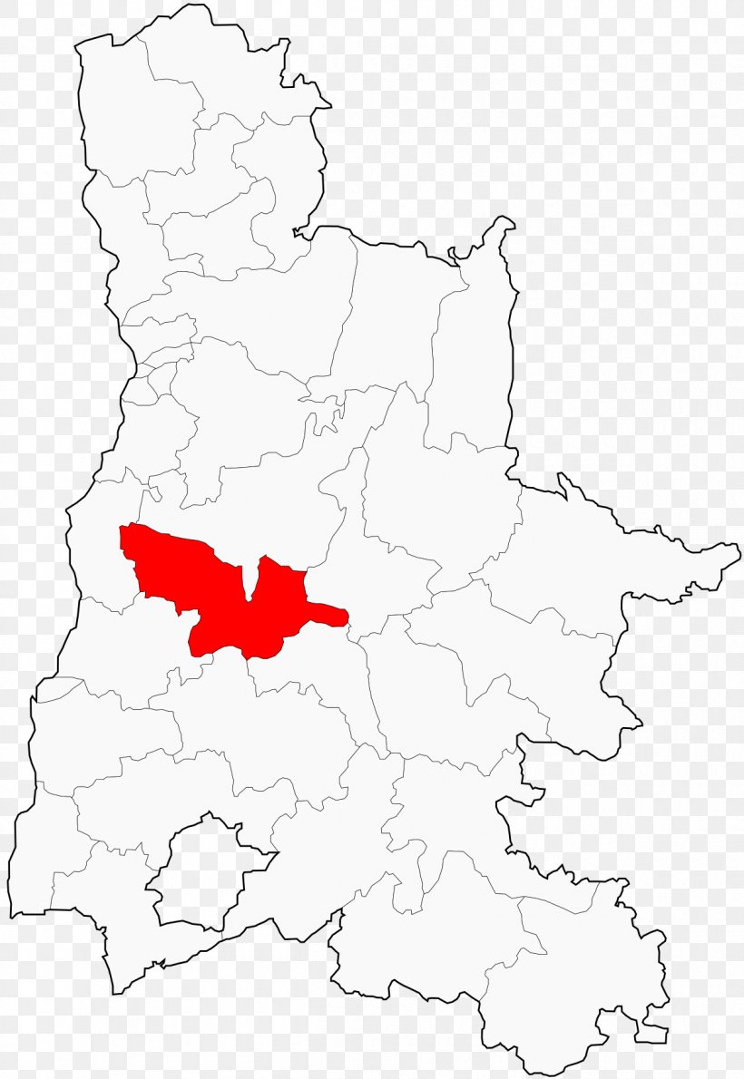
A map of a country with a red area in the center. The map is white and shows the provinces and their borders. The provinces are outlined in black and the borders are in a lighter shade of white. The red area is located in the middle of the map and is surrounded by a thin black line.
Canton Of Crest-Sud Marsanne Valence Administrative Division PNG
. The resolution of this PNG file is 1200 x 1742 pixels and it has a file size of 234.48 KB.A map of a country with a red area in the center. The map is white and shows the provinces and their borders. The provinces are outlined in black and the borders are in a lighter shade of white. The red area is located in the middle of the map and is surrounded by a thin black line.
Canton Of Crest-Sud Marsanne Valence Administrative Division PNG
Related PNG Images