User niceware uploaded the image
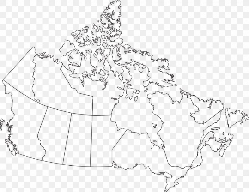
A black and white line drawing of a map of Canada. The map is outlined in black and shows the country's borders and major cities and bodies of water. The country is divided into two sections, with the left side of the map showing the provinces and the right side showing the major cities. The provinces are outlined in white and the water is shown in black.
Province Or Territory Of Canada Blank Map Coloring Book PNG
. The resolution of this PNG file is 930 x 720 pixels and it has a file size of 226.34 KB.A black and white line drawing of a map of Canada. The map is outlined in black and shows the country's borders and major cities and bodies of water. The country is divided into two sections, with the left side of the map showing the provinces and the right side showing the major cities. The provinces are outlined in white and the water is shown in black.
Province Or Territory Of Canada Blank Map Coloring Book PNG
Related PNG Images