Save
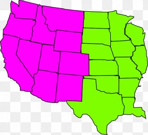
User emilybrochu uploaded this Canada - Mexico–United States Border Canada West Coast Of The United States Map PNG PNG image on January 15, 2018, 9:32 am. The resolution of this file is 747x899px and its file size is: 149.22 KB. This PNG image is filed under the tags:
Canada - Mexico–United States Border Canada West Coast Of The United States Map PNG
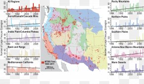
Below are more related PNG images...