Save

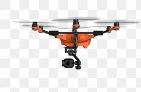
User parkjiyoung318 uploaded this Aircraft - Unmanned Aerial Vehicle Aerial Photography Aircraft Map Aerial Survey PNG PNG image on November 30, 2017, 7:15 am. The resolution of this file is 1812x1188px and its file size is: 532.48 KB. This PNG image is filed under the tags:
Aircraft - Unmanned Aerial Vehicle Aerial Photography Aircraft Map Aerial Survey PNG
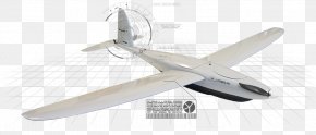
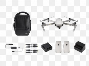
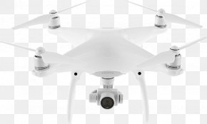
Below are more related PNG images...