User azevedoodha uploaded the image
A map of the world, with the continents and oceans clearly visible. The map is in black and white, and the continents are outlined in gray. On the right side of the map, there is an orange area, which appears to be the outline of the country. The orange area is slightly larger than the gray area, and it is slightly darker than the white area.
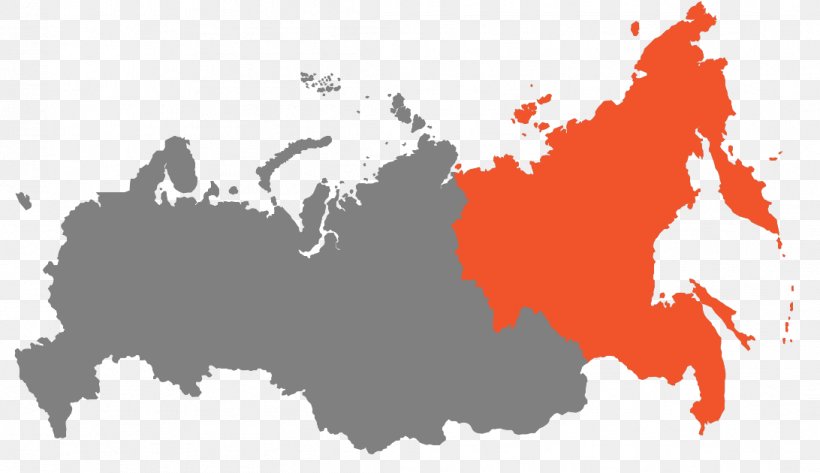
Far Eastern Federal District Image Europe Vector Graphics PNG
. The resolution of this PNG file is 1092 x 630 pixels and it has a file size of 77.54 KB.A map of the world, with the continents and oceans clearly visible. The map is in black and white, and the continents are outlined in gray. On the right side of the map, there is an orange area, which appears to be the outline of the country. The orange area is slightly larger than the gray area, and it is slightly darker than the white area.
Far Eastern Federal District Image Europe Vector Graphics PNG
Related PNG Images