Save
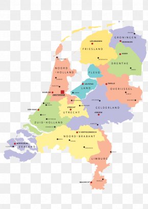
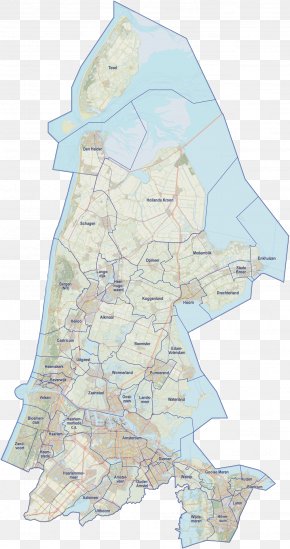
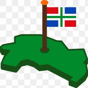
User Minion_Josh_ uploaded this Map - Groningen Provinces Of The Netherlands Map Angle PNG PNG image on February 17, 2019, 1:22 am. The resolution of this file is 1094x1253px and its file size is: 522.24 KB. This PNG image is filed under the tags:
Map - Groningen Provinces Of The Netherlands Map Angle PNG
Below are more related PNG images...