Save
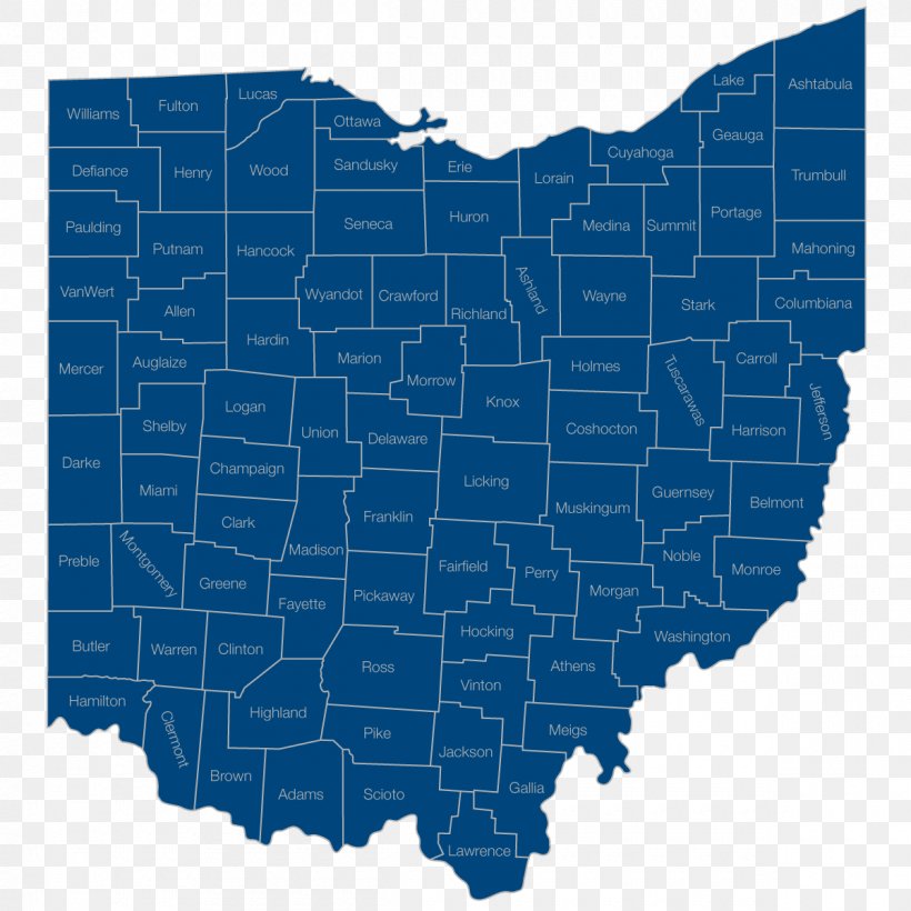
User SwiiFtY_7 uploaded this Map - Ohio Topographic Map Elevation Contour Line PNG PNG image on January 10, 2018, 11:45 am. The resolution of this file is 1200x1200px and its file size is: 137.62 KB. This PNG image is filed under the tags:
Map - Ohio Topographic Map Elevation Contour Line PNG
Below are more related PNG images...