Save
User jamilserna11 uploaded this Map - Map GPS Navigation Systems Geographic Information System PNG PNG image on February 24, 2018, 4:03 am. The resolution of this file is 512x512px and its file size is: 32.25 KB. This PNG image is filed under the tags:
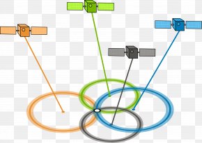
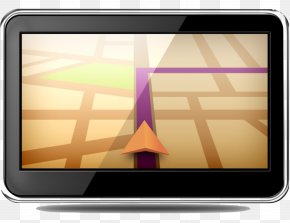
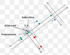
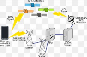
Map - Map GPS Navigation Systems Geographic Information System PNG
Below are more related PNG images...