Save
User frank2004 uploaded this Map - Charleston Taylor County, West Virginia Topographic Map Topography PNG PNG image on April 2, 2018, 4:23 pm. The resolution of this file is 768x683px and its file size is: 214.94 KB. This PNG image is filed under the tags:
Map - Charleston Taylor County, West Virginia Topographic Map Topography PNG
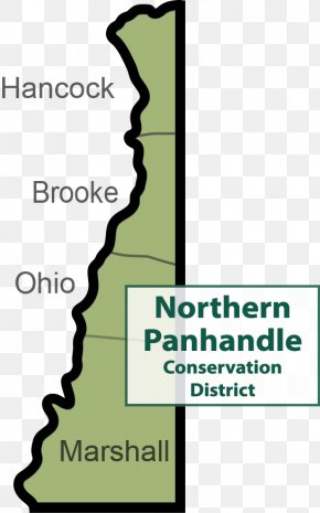
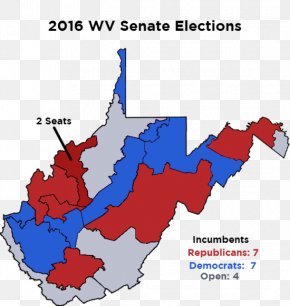
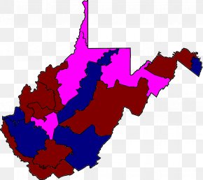
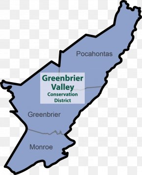
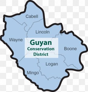
Below are more related PNG images...