Save
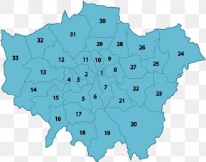
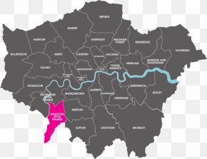
User KioKoIsrael uploaded this London - London Boroughs Mapa Polityczna Ordnance Survey PNG PNG image on October 18, 2018, 10:09 am. The resolution of this file is 2716x1908px and its file size is: 318.20 KB. This PNG image is filed under the tags:
London - London Boroughs Mapa Polityczna Ordnance Survey PNG
Below are more related PNG images...