Save
User komolikanika04 uploaded this Map - Hisar Jind District Kaithal Map States And Territories Of India PNG PNG image on December 28, 2017, 4:24 pm. The resolution of this file is 1191x1432px and its file size is: 655.36 KB. This PNG image is filed under the tags:
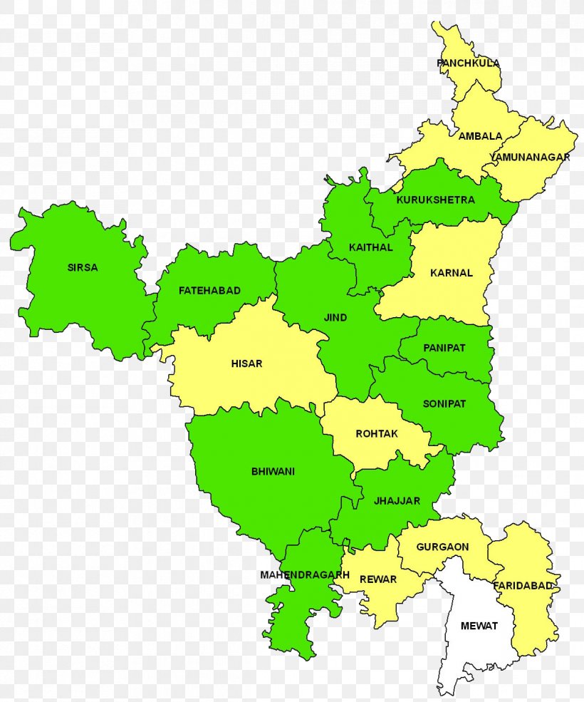
Map - Hisar Jind District Kaithal Map States And Territories Of India PNG
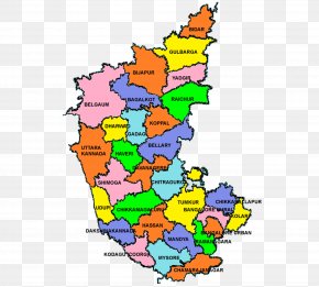
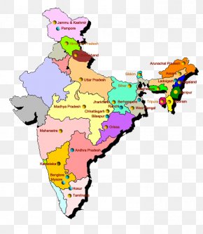
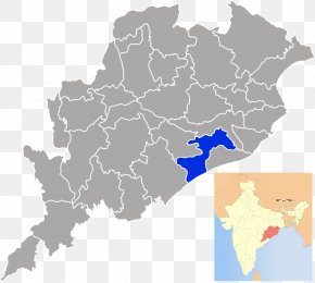
Below are more related PNG images...